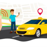
When you search for something on any device, location intelligence immediately comes into play. This automatically tracks and records movements, common places, and frequent areas. But it is also important to feed the database with information since software has its limits. According to statistics, each human being generates approximately 1.7 MB of data per second.
Financial movements, interests, preferences and location are a constant source of data, these provide information to companies to generate strategies. This is part of Business Intelligence, which uses geographic location over other data for analysis.
How does location intelligence work?
Location intelligence collects geographic data in order to improve the logistics and deliveries of an app. In computer terms, it is an intuitive software, which is made up of Business Intelligence, Artificial Intelligence and Geographic Information Systems. For a couple of years now it has become a vital component of on-demand delivery businesses.
It is basically interactive technology that allows you to generate maps and graphs in real time. Bringing as a benefit the ability to filter and organize the data, so that you only see what really interests you. In addition, location analysis is leveraged to solve business problems and discover new opportunities.
A bit of the history of Location intelligence
In 1854, John Snow created a map that, with geolocation, was able to determine the cause of the cholera epidemic that attacked London. This revealed the location of a well where sick citizens went to collect water, finding the source. A decade later, Devens raised the concept of business intelligence and being able to analyze data to achieve a competitive advantage.
In the late 1980s, Dartmouth University at a conference on artificial intelligence. He analyzed the development of technological capabilities and promoted computational research. The first Geographic Information System was created in 1960 based on data and maps. Given its advantages, such as cost reduction, it was promoted and in 1980 the first commercial GIS software reached the market.
Unfortunately, this type of technology presented certain limitations, difficulties in use and complexity. Those who used them noted the challenge when marketing them. However, Location Intelligence technology, thanks to a course given by Wayne Geary in 2012, overcome the adversities.
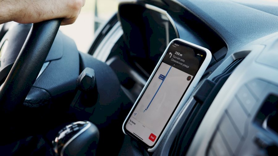
Route optimization
It may sound surprising, but many companies, even in 2022, set their routes manually. Yes, good routes can be drawn, however, the time lost doing so is irrecoverable. So route optimization through location intelligence can improve your business significantly.
We usually train our clients by giving them data from public sources and strategic alliances, although they are the ones who make the best decision for their benefit. We will delve into some of the advantages that help position yourself among the competition.
Traffic determination
It's no secret that traffic delays happen daily. In urban areas, the probability is greater that you will arrive late or your order will be delayed. With Location Intelligence, companies can quickly calculate the times per route. Since it suggests the best alternative routes, notifying you of any delays or signals. Workflows are typically handled as follows:
-
Identify possible routes to the destination.
-
Real-time data on traffic and green lights is analyzed.
-
Different factors such as the time of day are reviewed to provide certain results.
-
There is immediate assignment of the task to the nearest agent or driver, without the need for awkward calls.
Data discovery
When manual logistics planning is done, there is too much data that goes unnoticed. For example, with last-mile delivery software you can cover the largest amount of data, which will be used to better understand your niche. Once the data is available, it will be up to the logistics department to creatively use it in beneficial ways.
Guaranteed profitability
Once route optimization is applied, the positive effect on profitability is almost immediate. First of all, it allows drivers to choose the shortest distance between two points. This reduces not only the time spent, but also the amount spent on fuel. Intelligence software can help a business save 20% to 30% on fuel.
On the other hand, it significantly increases productivity since many more things are done in shorter periods of time. Consequently, productivity is increased by 100%, as long as it is correctly applied. Because of all these improvements, you can even anticipate what will be needed to be prepared for problems.
Systems to monitor vehicles
The best apps that help with routes allow you to track deliveries and taxis by tracking them. The software not only helps design routes for trips, but also takes into account different variables. Whether it's driver fatigue, weather conditions or road constructions.
An accident can cost a company thousands of dollars depending on its location and severity. They may seem like exaggerated figures, however, preparing for such scenarios reduces the likelihood of costing the company a lot of money. Normally the following factors tend to generate significant expenses.
-
Vehicle replacement.
-
Medical costs.
-
Insurance expenses.
-
Loss of customers
-
Delays in deliveries and trips.
-
Loss of property.
-
Find drivers or employees to replace them.
-
Continue paying the salaries of employees who are not producing due to injuries.
Technology for your business
Making decisions with all the data is the key to obtaining optimal profits. In the last couple of years, most businesses have looked for functional apps that take advantage of this information collection. With Location Intelligence and route optimization for your business add an advantage to the way it works, achieving success.